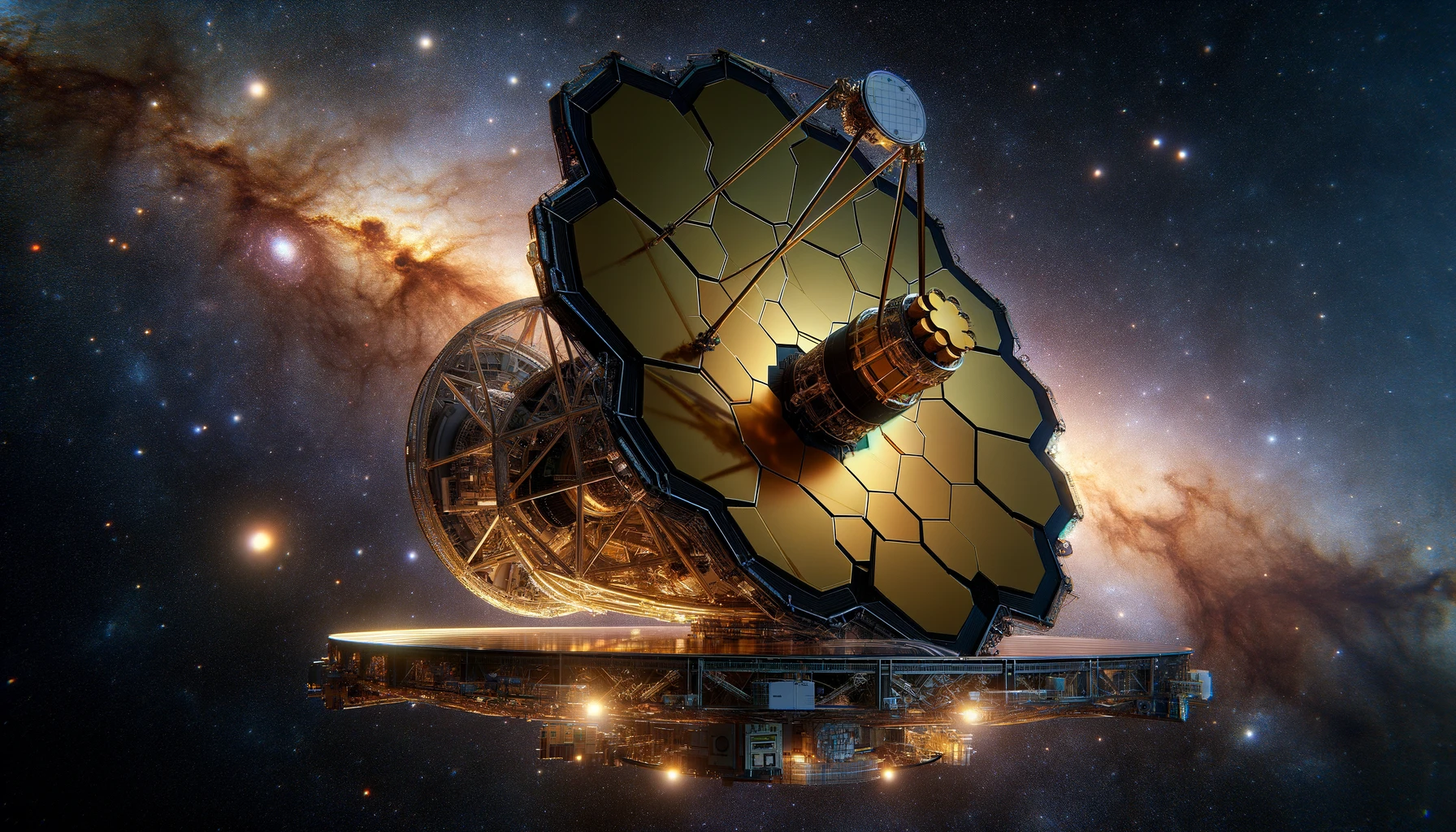
NASA, in collaboration with SpaceX, is gearing up for the launch of the GOES-U satellite, aimed at enhancing Earth’s weather observation and environmental monitoring systems. This launch is scheduled for June 25, utilizing the powerful Falcon Heavy rocket from NASA’s Kennedy Space Center in Florida. The GOES-U satellite, part of the Geostationary Operational Environmental Satellite series, is equipped with sophisticated instruments designed to improve atmospheric measurements, track space weather, and map lightning activity in real-time.
The upcoming launch of GOES-U marks a significant milestone in the longstanding partnership between NASA and the National Oceanic and Atmospheric Administration (NOAA). Historically, the collaboration has focused on developing advanced technologies to monitor environmental and atmospheric conditions. Over the years, these initiatives have led to significant improvements in weather forecasting accuracy and emergency response capabilities. The GOES satellites, in particular, have been pivotal in providing continuous monitoring and data collection, crucial for disaster preparedness and climate studies.
Comparatively, the GOES-U satellite is set to carry enhancements such as a new compact coronagraph for imaging the Sun’s atmosphere and better detecting solar events like coronal mass ejections. These capabilities are expected to improve the U.S.’s ability to forecast and mitigate the effects of space weather on Earth, which can interfere with power grids and communication networks.
Launch Details and Media Participation
The launch window is set for a two-hour period starting at 5:16 p.m. EDT. Media outlets interested in covering the event must secure accreditation by early June, with specific deadlines dependent on their geographic and citizenship status. Moreover, NASA has specified logistical requirements for media, including arrangements for satellite trucks and electrical setups, which need addressing by the end of May.
Scientific Instruments and Mission Goals
GOES-U will carry seven main instruments, including the Advanced Baseline Imager provided by L3Harris Technologies. This instrument is crucial for delivering high-quality imagery and atmospheric measurements that are vital for real-time weather monitoring and forecasting. The satellite will operate in tandem with GOES-18, with both satellites jointly covering a vast geographical area from the west coast of Africa to New Zealand, enhancing global weather surveillance capabilities.
Valuable Inferences from GOES-U
- Enhanced real-time tracking of severe weather conditions.
- Improved forecast accuracy for hurricane paths and intensity.
- Advanced monitoring of solar activities influencing space weather.
The impending launch of GOES-U is a testament to the ongoing efforts by NASA and NOAA to advance Earth observation technologies. This mission will not only bolster weather forecasting but also enhance emergency response during extreme weather events. The integration of new instruments like the compact coronagraph will provide deeper insights into solar phenomena, crucial for protecting Earth’s infrastructure from space weather impacts.


